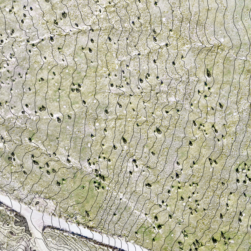
land surveying
&
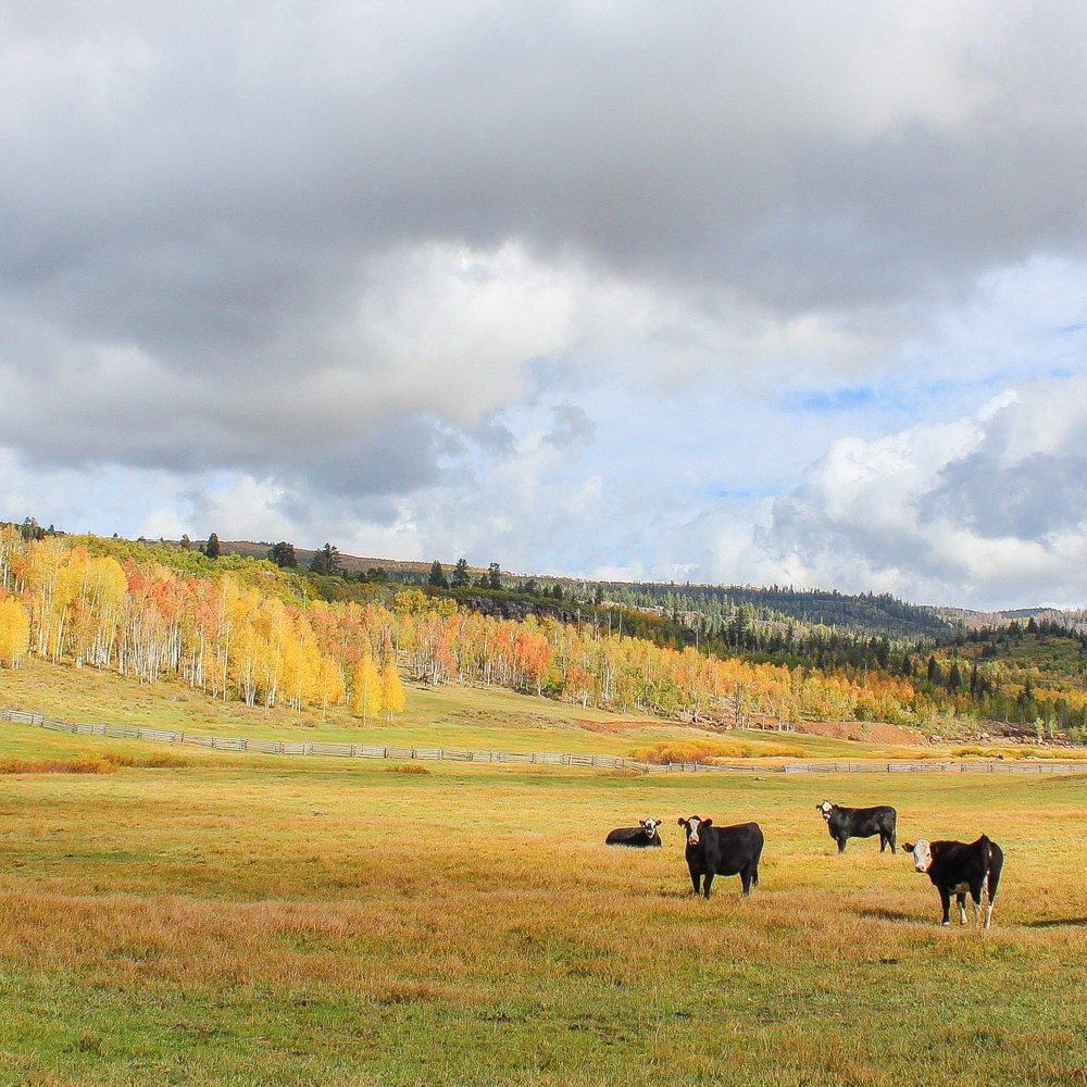
rangeland health
We have partnered with professional land surveyors and rangeland ecologists to help you optimize your land position.
Land Surveying & GIS Support
- drone surveys with RTK accuracy
- ground surveys for civil applications
- stockpile volumetrics and reconciliation
- mineral claim staking on public lands
- title searches & title reports
- watershed delineation
- GIS mapping & processing
Rangeland Health
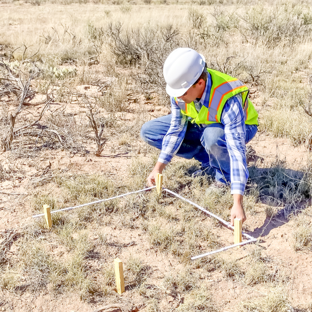
- vegetative surveys
- soil profile mapping
- transects for classification, inventory, and rangeland monitoring
- development of site-specific seed mixtures to optimize range health
Contact us for more information
Copyright © ADT Environmental & Mineral Consultants, LLC